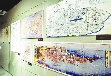
 AN exhibition of old maps of Qingdao was held at the city’s archives exhibition center recently. The old maps record the city’s history, in which the administration area of Jiaozhou can be seen clearly on a map made in the Ming Dynasty (1368-1644) about 400 years ago. Nearly 100 maps were on display at the exhibition center, showing visitors how the city became an important defensive point from a fishing village and how the small town turned into a modern metropolis. Some of the maps were from the Ming and Qing dynasties. The oldest was made in 1591, clearly showing Jiaozhou villages, mountains and the administration area. (Wang Yuanyuan, Xu Meizhong) |